
Search
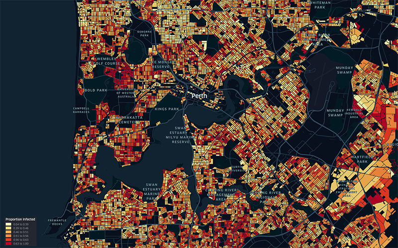
WA’s current Omicron COVID-19 outbreak could jump by 147,000 cases if mask mandates are abandoned before the Easter long weekend, according to sophisticated new modelling.
A regional corner of Africa is a hotspot for cases of HIV, tuberculosis and malaria, prompting researchers to call for targeted health support rather than a national response.
Project description This project support the development of 10-year global forecasts of nets, insecticides, diagnostics, and treatments for malaria
The Mental Health Commission (MHC) of Western Australia has provided funding to The Kids Research Institute Australia to undertake exploratory research to inform a WA approach to aftercare.
The Malaria Atlas Project (MAP) aims to disseminate free, accurate and up-to-date geographical information on malaria and associated topics. Our mission is to generate new and innovative methods to map malaria, to produce a comprehensive range of maps and estimates that will support effective planning of malaria
Adam Dan Francesca Susan Saddler Weiss Sanna Rumisha PhD PhD Dr PhD (Biostatistics) Senior Research Officer Honorary Research Fellow Research
Nick Golding BSc DPhil Honorary Research Fellow Nick.Golding@thekids.org.au Honorary Research Fellow Professor Nick Golding is the UWA Chair in
Honorary Team Member
Malaria imposes a significant global health burden and remains a major cause of child mortality in sub-Saharan Africa. In many countries, malaria transmission varies seasonally. The use of seasonally-deployed interventions is expanding, and the effectiveness of these control measures hinges on quantitative and geographically-specific characterisations of malaria seasonality.
Post-tuberculosis (TB) sequelae present a significant challenge in the management of TB survivors, often leading to persistent health issues even after successful treatment. Identifying risk factors associated with post-TB sequelae is important for improving outcomes and quality of life of TB survivors. This systematic review and meta-analysis aims to identify risk factors associated with long-term physical sequelae among TB survivors.