Search
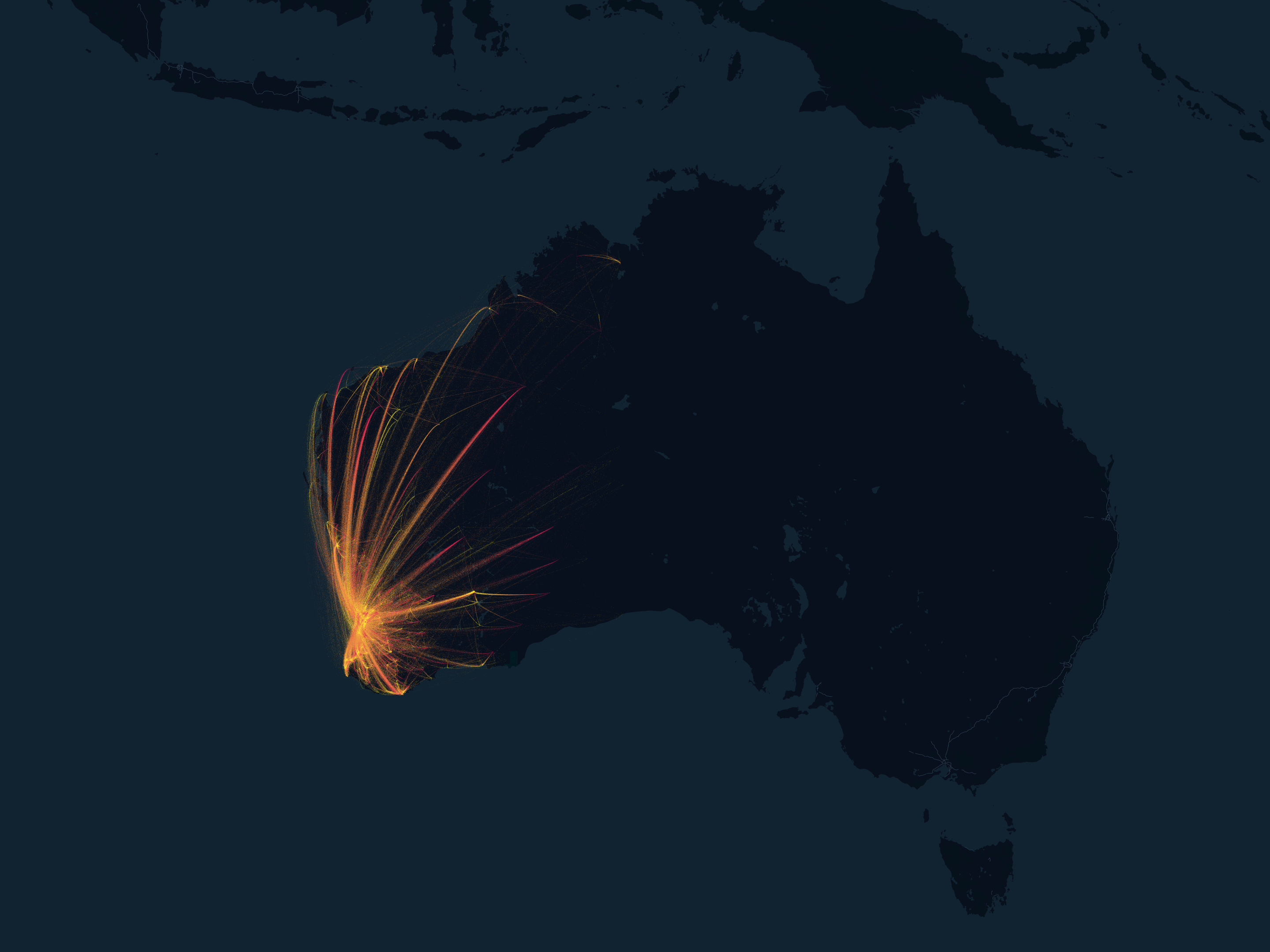
Researchers have developed a new model for simulating covid-19 outbreaks in Western Australia.
Adam Dan Saddler Weiss PhD PhD Senior Research Officer Honorary Research Fellow Daniel.Weiss@thekids.org.au Senior Research Officer Honorary
The COVID-19 pandemic has led to far-reaching disruptions to health systems, including preventative and curative services for malaria. The aim of this study was to estimate the magnitude of disruptions in malaria case management in sub-Saharan Africa and their impact on malaria burden during the COVID-19 pandemic. We used survey data collected by the World Health Organization, in which individual country stakeholders reported on the extent of disruptions to malaria diagnosis and treatment.
Malaria rapid diagnostic tests (RDTs) based on the detection of the Plasmodium falciparum histidine-rich protein 2 (HRP2) antigen are widely used for detection of active infection with this parasite and are the only practical malaria diagnostic test in some endemic settings.
Postvention is a core component of suicide prevention strategies, internationally. However, the types of supports provided to people impacted by suicide vary widely. This study examines the perceived effectiveness of the Primary Care Navigator (PCN) model for people bereaved by suicide. The PCN model was implemented in response to a suicide cluster.
Access to medical treatment for fever is essential to prevent morbidity and mortality in individuals and to prevent transmission of communicable febrile illness in communities. Quantification of the rates at which treatment is accessed is critical for health system planning and a prerequisite for disease burden estimates.
Human immunodeficiency virus and acquired immune deficiency syndrome (HIV/AIDS) is still among the leading causes of disease burden and mortality in sub-Saharan Africa (SSA), and the world is not on track to meet targets set for ending the epidemic by the Joint United Nations Programme on HIV/AIDS (UNAIDS) and the United Nations Sustainable Development Goals (SDGs).
Human mobility is a driver for the reemergence or resurgence of malaria and has been identified as a source of cross-border transmission. However, movement patterns are difficult to measure in rural areas where malaria risk is high. In countries with malaria elimination goals, it is essential to determine the role of mobility on malaria transmission to implement appropriate interventions.
A random effects meta-analysis was used to estimate the pooled prevalence of HIV infection within minority indigenous populations of the South-East Asia (SEAR) and Western Pacific Regions (WPR). Sub-group analyses were conducted, and the sources of heterogeneity explored through meta-regression. The majority of studies were undertaken in high HIV risk subpopulations.
Globally, non-communicable diseases (NCD) kill about 40 million people annually, with about three-quarters of the deaths occurring in low- and middle-income countries. This study was carried out to determine the patterns, trends, and causes of in-hospital non-communicable disease (NCD) and injury deaths in Tanzania from 2006-2015.